I have found that having blog posts about our travels and activities is extremely helpful. So when Duke asks Where did we eat in Budapest? or When did we have that flat tire in the middle of nowhere? I can search the blog and find out.
We have had a busy time since we got home from our last trip on April 10. We leave on our next trip in just two and half weeks so I thought it would be good to publish a chronicle of some of our adventures during the last four months.
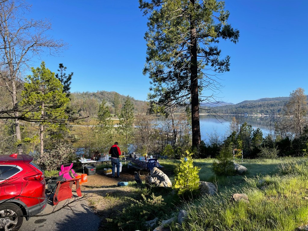
- April 19 – 21 – We camped at Bass Lake in the Forks campground.
We were in site 29
- May 4-6 – We camped at Casini Ranch campground on the Russian River. During the night Friday the rain came down in buckets. Luckily our tent didn’t leak. But some of the campers in our group ended up in puddles of water, We went out for breakfast Saturday morning and by Saturday afternoon every thing was drying out.

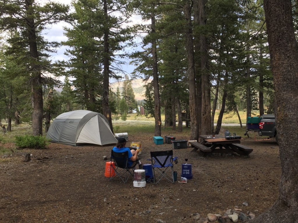
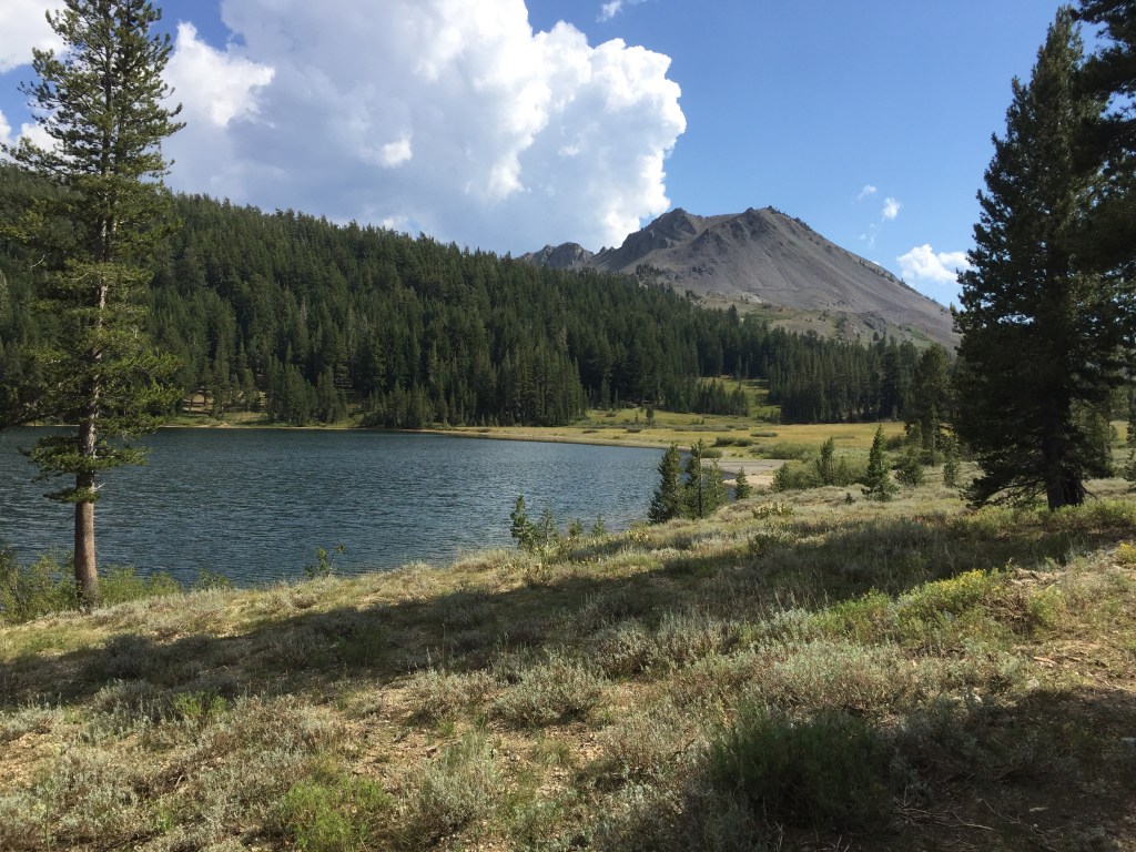
- June 19 though 30 – We did a wonderful four night camping trip in Lassen Volcanic National Park. We camped in sites B03 and B53 in Manzanita Lake Campground. We hiked around the lake, hiked down to Kings Creek Falls, Visited Subway cave and drove Highway 89 through the park, along with a lot of other fun stuff. I made a YouTube video about the trip. You can see it here. Camping in Lassen Volcanic National Park – 4 nights at Manzanita Lake campground
https://youtu.be/N-a6S1nPs_8
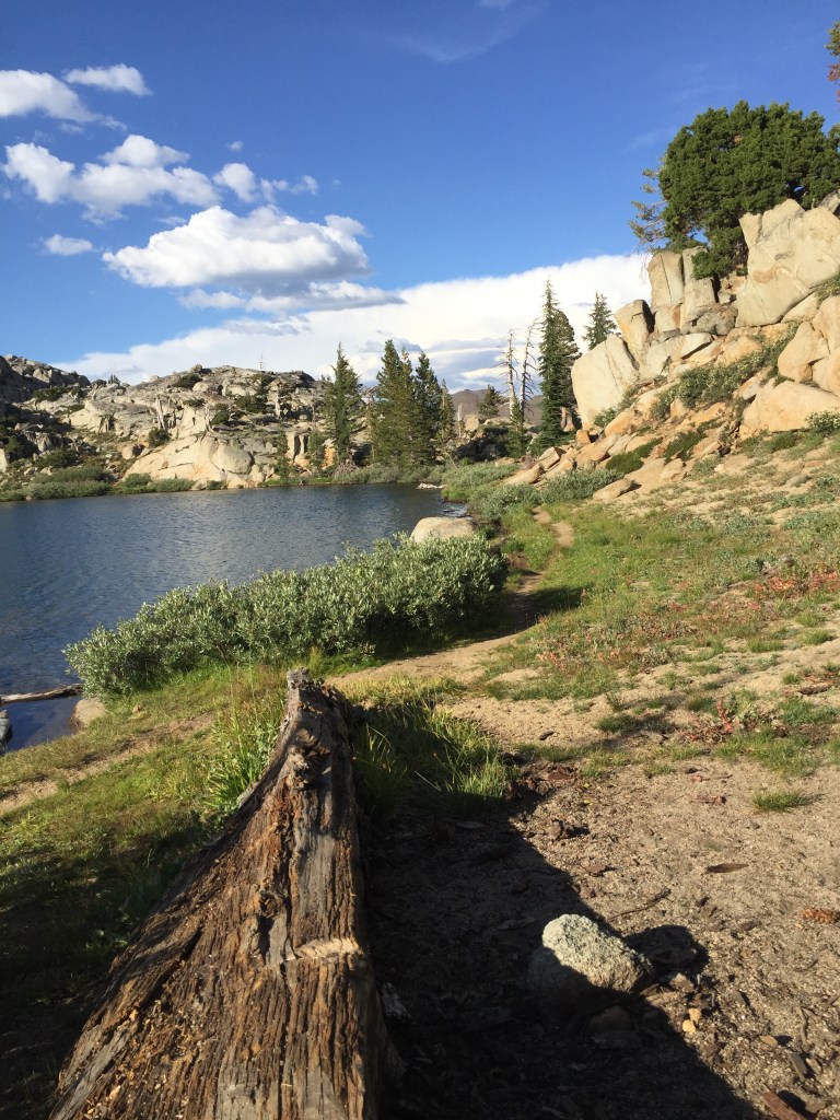
- On July 2 Bonnie, Duke and I hiked to the Loch Leven Lakes. We had a picnic and went swimming.


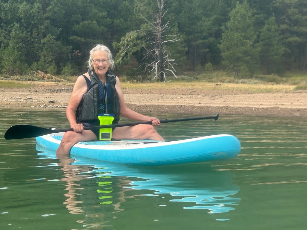
Bonnie and I went to a day long yoga retreat at Lake Davis. In preparation for the retreat Bonnie taught me how to ride a paddle board. Standing up was a challenge.

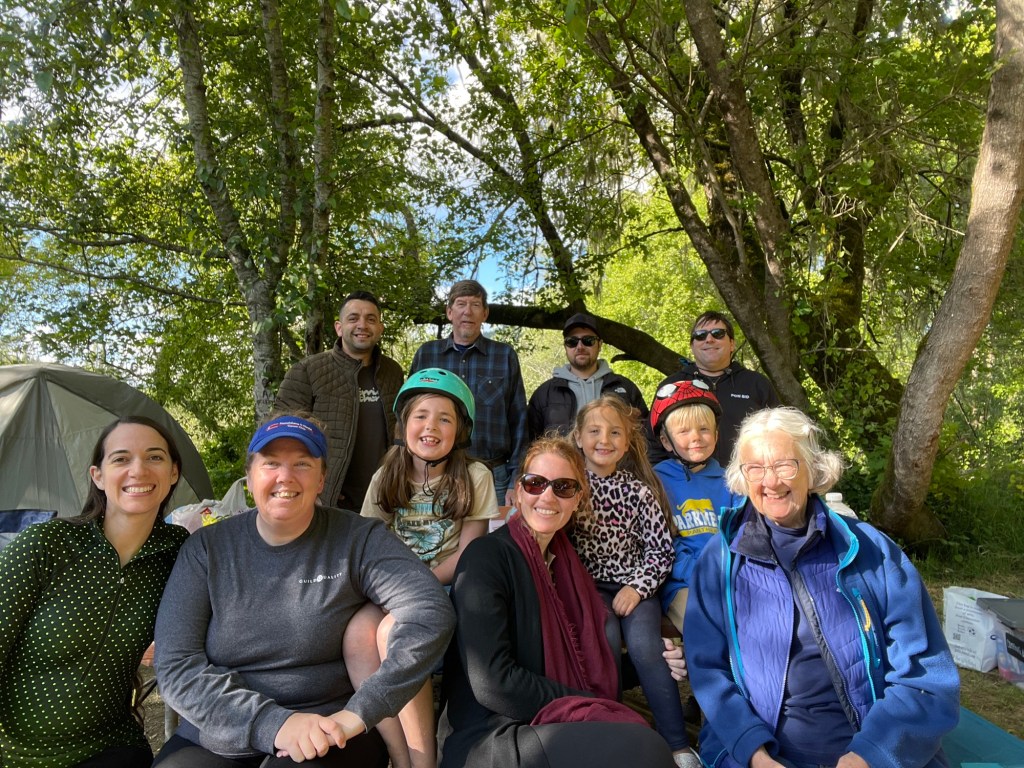
July 18-20 – We camped with Brian and Bonnie at Middle Creek Campground near Upper Blue lake. We also hiked to Granite Lake. This trip was almost a duplicate of another trip that Duke and I did when we camped here in 2020.

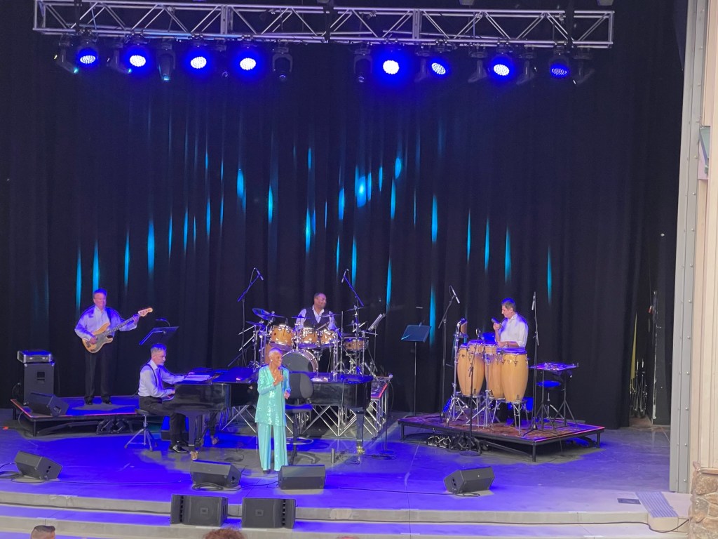
July is Artown in Reno. We attended several great concerts.
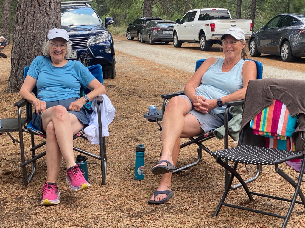
- Last weekend July 26 – 28 we camped in South Shore Campground at Bear River Reservoir.


All in all it has been a wonderful summer. We are planning a short tip to Utah before we leave for Europe. I’ll probably blog that trip.